
News & Activities
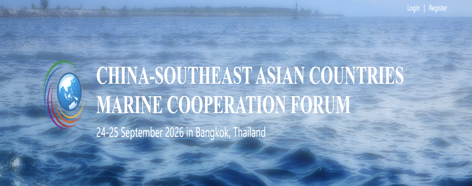
Announcement: 9th China–Southeast Asian Countries Marine Cooperation Forum
The Department of Marine and Coastal Resources (DMCR), Ministry of Natural Resources and Environment (MNRE), Thailand, together with the Department of International Cooperation, Ministry of Natural Resources (MNR), China, cordially invites marine scientists, researchers, government officials, and stakeholders to participate in the 9th China–Southeast Asian Countries Marine Cooperation Forum, to be held on 24–25 September 2026 at the Bazaar Hotel, Bangkok, Thailand.Co-organized by the First Institute of Oceanography (FIO), MNR, China, the Phuket Marine Biological Center (PMBC), DMCR, and the China–Thailand Joint Laboratory for Climate and Marine Ecosystem, the Forum serves as an important regional platform for strengthening scientific collaboration and promoting innovation in marine science and technology between China and Southeast Asian countries.The two-day program will feature:Opening Ceremony and Keynote SpeechesTechnical Sessions covering four thematic areas:Marine Observations and ForecastingClimate Change and Marine EcosystemsMarine Biodiversity and ConservationSustainable Blue Economy and Marine TechnologyPlenary Discussions and Closing SessionNetworking and opportunities for future collaborative research initiatives.The Forum aims to enhance regional cooperation, facilitate knowledge exchange, and foster partnerships that contribute to sustainable marine and coastal resource management across Southeast Asia.For additional information and the detailed program, please visit:CSEA Forum 2026 Official Website
การรับสมัครคัดเลือกบุคคลเพื่อปฏิบัติหน้าที่เลขานุการในศูนย์ปฏิบัติการวิจัยร่วมไทย-จีน ด้านสภาพภูมิอากาศและระบบนิเวศทางทะเล
ด้วยศูนย์ปฏิบัติการวิจัยร่วมไทย-จีน ด้านสภาพภูมิอากาศและระบบนิเวศทางทะเล สังกัดศูนย์วิจัยทรัพยากรทางทะเลและชายฝั่งทะเลอันดามันตอนบน ประสงค์จะรับสมัครบุคคลเพื่อจัดจ้างเป็นเจ้าหน้าที่จ้างเหมาตำแหน่ง เลขานุการ ดังนั้น จึงประกาศรับสมัครคัดเลือกบุคคลของศูนย์ปฏิบัติการวิจัยร่วมไทย-จีนฯ โดยมีรายละเอียดดังเอกสารแนบ
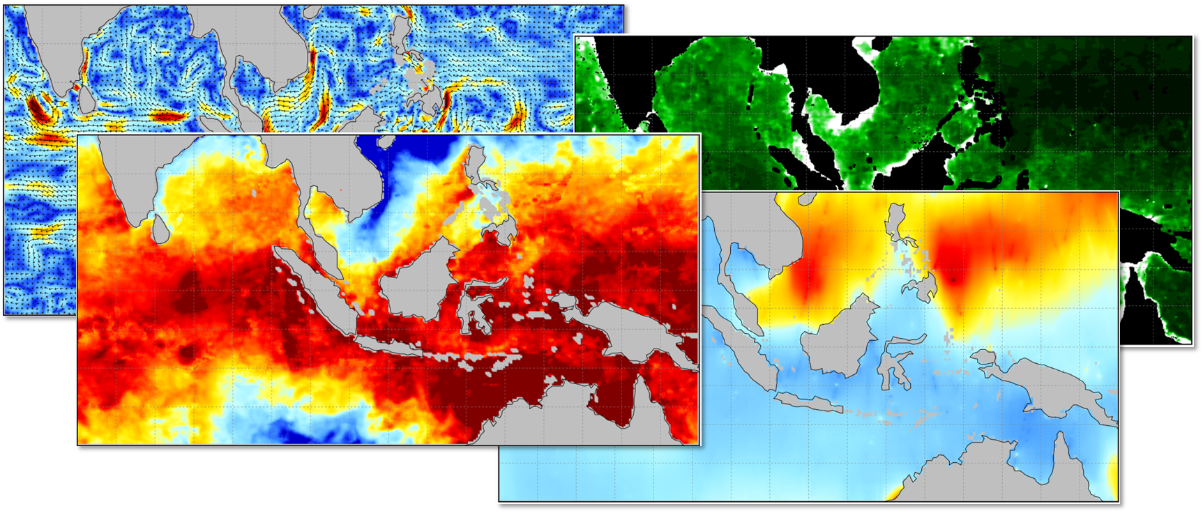
Freely published remote sensing products under Thailand-China collaboration
Under the collaboration between Thailand and China on the research of climate and marine ecosystem, the Joint Laboratory has recieved the right to distribute the product of satellite data from the First Institute of Oceanography (FIO). For those who are interested in using the data, please see the following details:Time coverage : January 2013 - December 2022Description : The analysis data were produced based on the OI (optimal interpolation) algorithm, data fusion was performed using GMI (Global Precipitation Measurement Microwave Imager), WindSat, AMSR2 (Advanced Microwave Scanning Radiometer 2), SSMI, ASCAT, HY-2 and NCEP remote sensing observations to generate the 6h/0.1° wind fusion data. All data are formatted as NetCDF, which includes datasets of wind, grid information of latitude and longitude (grid number 452 x 800). The data record four sets of data fields: longitude (lon), latitude (lat), U and V component of the wind. The data record of the U and V component of wind has four attributes. Long time series remote sensing data products will continue to be generated and released to the public.Variables : wind, significant wave height, surface current, sea surface temperature, sea surface salinity, and chlorophyll-a concentration. Spatial coverage : The longitude covers a range of 70.05°E~149.95°E. The latitude spans a range of 20.05°S~25.05°N. Data provider : First Institute of Oceanography, Ministry of Natural Resources.Format : NetCDFCitation : Sun, W., Wang, J., Zhang, J. (2018) A new global gridded sea surface temperature product constructed from infrared and microwave radiometer data using the optimum interpolation method. Acta Oceanol. Sin. 37, 41–49 (2018). https://doi.org/10.1007/s13131-018-1206-4 Xiao, Y., Zhang, J., Cui, T. A new merged dataset of global ocean chlorophyll a concentration with higher spatial and temporal coverage. Acta Oceanol. Sin. 37, 118–130 (2018). https://doi.org/10.1007/s13131-018-1249-6Qiushuang Yan, Jie Zhang, Junmin Meng, Jing Wang & Chenqing Fan (2017) Use of an optimum interpolation method to construct a high-resolution global ocean surface vector wind dataset from active scatterometers and passive radiometers, International Journal of Remote Sensing, 38:20, 5569-5591, DOI: 10.1080/01431161.2017.1341665Contact : to request the data, please contact dic.thch@dmcr.mail.go.th with cc to pmbc.ocean@gmail.com Attached files : Product description and Application_form